
ByKelly Howard
February 16, 2022
0
Details
Venue Phone: (520) 323-7193
Venue Website: https://kontikitucson.com/
Location
Address:4625 E Broadway Blvd, Tucson, Arizona, 85711

Venue Phone: (520) 323-7193
Venue Website: https://kontikitucson.com/
Venue Website: https://www.blm.gov/visit/ironwood
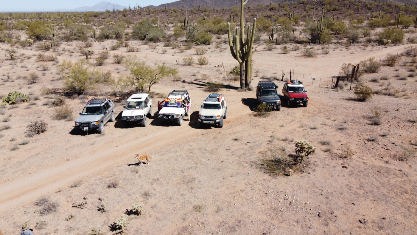
The Ironwood Forest National Monument is made up of 129,000 acres and contains a significant system of cultural and historical sites covering a 5,000-year period. Possessing one of the richest stands of ironwood in the Sonoran Desert, the monument also encompasses several desert mountain ranges including the Silver Bell, Waterman, and Sawtooth, with desert valleys in between.
Elevation ranges from 1,800 to 4,261 feet. Three areas within the monument, the Los Robles Archeological District, the Mission of Santa Ana del Chiquiburitac and the Cocoraque Butte Archeological District are listed on the National Register of Historic Places.

Venue Phone: (520)-325-4122
Venue Website: https://veroamorepizza.com/#

Venue Phone: 480-838-7800
Venue Website: http://www.desertrat.com
The Rat started in 1975 when the head Rat and lifelong 4×4 aficionado Mike Furrier decided he wanted more out of life than just selling tires in the family tire business. The first load of 4×4 products actually came from Dick Cepek who was a friend of the Furrier family from the tire business. Desert Rat Off Road Centers began in the showroom of one of the Jack Furrier Tire and Auto stores in Tucson, the quickly expanding business then moved into larger facilities to accommodate the mail-order business.
Venue Website: majesticphx.com
Will email participants the full address about a week before the party. They live in far East Tucson.
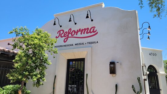
Venue Phone: (520) 867-4134
Venue Website: https://www.reformatucson.com/
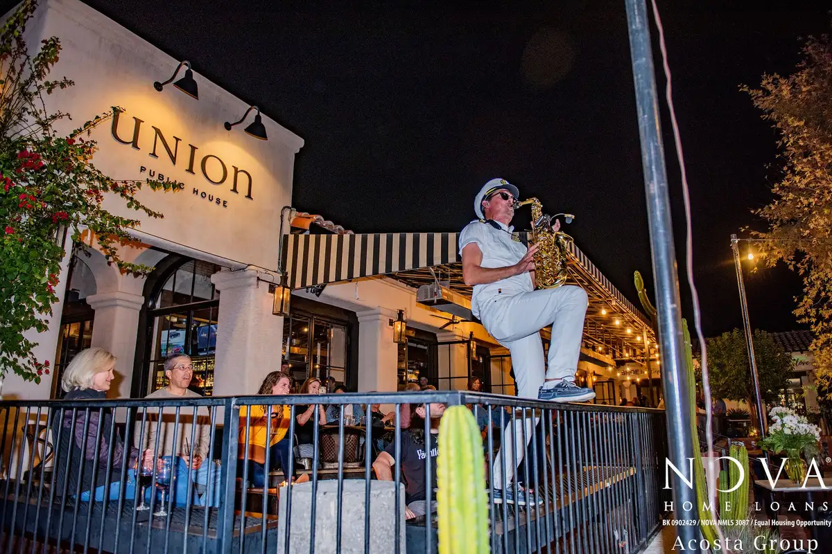
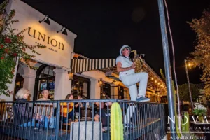
Venue Phone: (520) 329-8575
Venue Website: https://www.uniontucson.com/
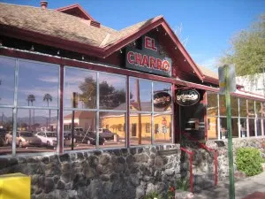
Venue Phone: (520) 622-1922
Venue Website: https://www.elcharrocafe.com/locations/downtown/
Venue Website: https://www.millenniumhotels.com/en/scottsdale/the-mccormick-scottsdale/
The McCormick Scottsdale is an idyllic retreat. Our resort setting on the shores of Camelback Lake, overlooking the Camelback Mountain guarantees splendid views. At our lakeside hotel, convenient to Phoenix and Paradise Valley, Arizona, we live up to the warm southwestern hospitality. Enjoy the scenic, sunset shores of Camelback Lake by kayak, or tee off your adventure at the McCormick Ranch Golf Club, before relaxing in our outdoor pool accompanied by stunning mountain views. Our Scottsdale hotel suites range from a simple yet spacious Standard Room to a Deluxe Mountain or Lakeside Room with some 400 sq ft of space in a picturesque setting.