Smiley Rock

Smiley Rock

Details

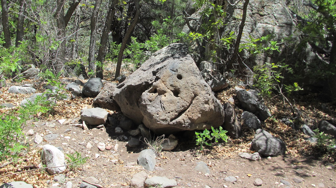
Smiley Rock trail will leave you smiling as you enter the historic mining town of Jerome and hit the dirt shorty after the fire station. The trail begins as a well maintained road, and gradually builds in difficulty as you gain elevation. Near the end, the last couple of miles provides excellent challenges as you navigate rocky stream beds. Tire placement is critical and rock stacking is expected. Stock vehicles with stock tires should use caution.

The trail is mostly easy/moderate but there is a 1/4mile rock garden towards the end which may require spotting for some.

The trail is located just outside Jerome, AZ which is about 90 miles from Phoenix.

Features: Allow plenty of time to see historic Jerome. The town is a major tourist attraction offering an array of quaint gift shops, art galleries, museums and restaurants. If you’re into mining history, plan a stop at the Gold King Mine and Ghost Town along the route or take a short side trip to Jerome State Historic Park. Both of these attractions require a small fee. Once in the backcountry, you’ll enjoy your secluded adventure through Martin Canyon, which follows the southern border of the Woodchute Wilderness. Hike and camp at various points along the way. Some of this trail is officially part of the Great Western Trail. This rating applies to the portion of the trip through Martin Canyon which is narrow and rocky. Skid plates and good articulation are recommended. Brush is tight in several places. Much of the route is an easy gravel road.

23 miles

Location

Address:
Jerome, 86331, United States
Continue Reading

Next Coffee Co

Details

Venue Website:

About Next Coffee Co:

A place where you can always count on a great cup of coffee, amazing food, and truly friendly people. A place where you can eat, study, think, and just be.

We offer free Wi-Fi, plenty of outlets for laptops, and the huge tables for spreading out. We also showcase local music, local artisans, and local products to share with our customers.

We’re a place for everyone, students and business types, musicians and poets, moms and dads, neighborhood groups and community clubs. Our customers make us who we are and who we want to be. We’re here to be your café. Come on in, stay a while, and help us shape what comes next.

Location

Address:
19420 N. 59th Avenue, Glendale, 85308, United States
Continue Reading

Bloody Basin Rd

Details

Easy trail with regularly but roughly graded road that offers beautiful scenery. Difficult to impassable in the wet.

Majority of the trail is located in the Agua Fria National Monument.

Bloody Basin supposedly gets its name from the many Indian fights in it.

Short

Location

Address:
Carefree, United States
Continue Reading

Camp Creek Wash

Details

This trail runs from the turn off to Bartlett Lake into Fountain Hills and should last about 2 hours.

Location

Address:
Fountain Hills, United States
Continue Reading

koly’s house

Details

Email me at info@koly.com for the address and directions

Location

Address:
Legend Trail Parkway, Scottsdale, 85262, United States
Continue Reading

Cherry Creek Road

Details

Venue Website:

Directions:
From the Phoenix area, take US-60 East towards Globe. Just after Miami and before Globe, take HWY-188 left towards Roosevelt Lake. Make a right onto well signed HWY 288. About two miles after crossing the Salt River, turn right onto Cherry Creek Road (signed as FR203), a well graded dirt road.

Description:
The first part of FR203 is graded and easy driving through desert landscape. After you cross Cherry Creek near Ellison Ranch, the road gets rougher and you need 4WD. This is mainly because the Coon Creek fire has created a lot of flash flooding and rock falls that keep the trail “fun”. The trail rating is a 2.5 — a stock truck could make it with good tires. Most of the road is a shelf road that follows north along the cliffs.

Location

Address:
Roosevelt, 85545, United States
Continue Reading

Sandbar Mexican Grill

Details

Venue Website:

Location

Address:
21001 N Tatum Blvd, Phoenix, 85050, United States
Continue Reading

Anza Borrego State Park

Details

Anza-Borrego Desert State Park (ABDSP) is a state park located within the Colorado Desert of southern California, United States. The park takes its name from 18th century Spanish explorer Juan Bautista de Anza and borrego, the Spanish word for bighorn sheep.[1] With 600,000 acres (240,000 ha) that includes one-fifth of San Diego County, ABDSP is the largest state park in California and, after New York‘s Adirondack Park, the second largest in the contiguous United States. The park occupies eastern San Diego County and reaches into Imperial and Riverside counties, enveloping two communities: Borrego Springs (home of the park headquarters) and Shelter Valley.


Location

Address:
Borrego Springs, California, Borrego Springs, 92004, United States
Continue Reading

Dam Busters

Details

This is an easy, family-friendly trail. Explore a small, busted dam on the upper reaches of Pinto Creek. Visit the site of an old land dispute, and try and find remains of the bulldozed house. If time allows, visit an overlook with sweeping vistas of the mountains of central Arizona

Location

Address:
Florence Junction, United States
Continue Reading

SteelCrest

Details

Venue Website:

Location

Address:
4141 E. Raymond St Suite E, Phoenix, 85040, United States
Continue Reading